
การใช้ระบบภูมิศาสตร์สารสนเทศเพื่องานด้านนิติวิทยาศาสตร์และการป้องกันอาชญากรรม
Article Sidebar
Main Article Content
บทคัดย่อ
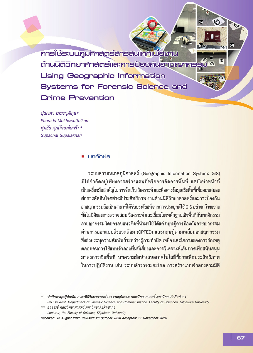
ระบบสารสนเทศภูมิศาสตร์ (Geographic Information System: GIS) มิได้จำกัดอยู่เพียงการสร้างแผนที่หรือการจัดการพื้นที่ แต่ยังทำหน้าที่เป็นเครื่องมือสำคัญในการจัดเก็บ วิเคราะห์ และสื่อสารข้อมูลเชิงพื้นที่เพื่อตอบสนองต่อการตัดสินใจอย่างมีประสิทธิภาพ งานด้านนิติวิทยาศาสตร์และการป้องกันอาชญากรรมถือเป็นสาขาที่ได้รับประโยชน์จากการประยุกต์ใช้ GIS อย่างกว้างขวาง ทั้งในมิติของการตรวจสอบ วิเคราะห์ และเชื่อมโยงหลักฐานเชิงพื้นที่กับพฤติกรรมอาชญากรรม โดยกรอบแนวคิดที่นำมาใช้ ได้แก่ ทฤษฎีการป้องกันอาชญากรรมผ่านการออกแบบสิ่งแวดล้อม (CPTED) และทฤษฎีสามเหลี่ยมอาชญากรรม ซึ่งช่วยระบุความสัมพันธ์ระหว่างผู้กระทำผิด เหยื่อ และโอกาสของการก่อเหตุ ตลอดจนการใช้แบบจำลองพื้นที่เสี่ยงและการวิเคราะห์เส้นทางเพื่อสนับสนุนมาตรการเชิงพื้นที่ บทความยังนำเสนอเทคโนโลยีที่ช่วยเพื่อประสิทธิภาพในการปฏิบัติงาน เช่น ระบบสำรวจระยะไกล การสร้างแบบจำลองสามมิติ และโฟโตแกรมเมตรี ซึ่งเพิ่มความแม่นยำของข้อมูลเชิงพื้นที่และช่วยบันทึกหลักฐานในคดีที่มีความซับซ้อน รวมถึงการเก็บหลักฐานอาชญากรรมสงครามในระดับสากล บทสรุปเชิงนโยบายชี้ให้เห็นว่า GIS ไม่เพียงเสริมการสืบสวนสอบสวน แต่ยังสนับสนุนการออกแบบมาตรการป้องกันเชิงรุก การเพิ่มความโปร่งใสของกระบวนการยุติธรรม และการพัฒนาเมืองที่ปลอดภัยและยั่งยืน
Article Details

อนุญาตภายใต้เงื่อนไข Creative Commons Attribution-NonCommercial-NoDerivatives 4.0 International License.
ต้นฉบับที่ได้รับการตีพิมพ์ในวารสาร เป็นลิขสิทธิ์ของวารสารกระบวนการยุติธรรม แต่ความคิดเห็นที่ปรากฏในเนื้อหาของบทความในวารสารกระบวนการยุติธรรม ถือเป็นความรับผิดชอบของผู้เขียนแต่เพียงผู้เดียว
เอกสารอ้างอิง
Artec 3D. (2023). 3D scanning for documenting war crimes in Ukraine. https://www.artec3d.com
Barone, P. M., Di Maggio, R. M., & Mesturini, S. (2021). Forensic geoarchaeology in the search for missing persons. Forensic Sciences, 1(1), 8-15. https://doi.org/10.3390/forensicsci1010003
Brantingham, P. J. & Brantingham, P. L. (1993). Nodes, paths and edges: Considerations on the complexity of crime and the physical environment. Journal of Environmental Psychology, 13(1), 3-28. https://doi.org/10.1016/S0272-4944(05)80212-9
Brantingham, P. L. & Brantingham, P. J. (1995). Criminality of place. European Journal on Criminal Policy and Research, 3(3), 5-26. https://doi.org/10.1007/BF02242925
Caplan, J. M. & Kennedy, L. W. (2016). Risk terrain modeling compendium. Rutgers Center on Public Security.
Cohen, L. E. & Felson, M. (1979). Social change and crime rate trends: A routine activity approach. American Sociological Review, 44(4), 588-608. https://doi.org/10.2307/2094589
Court, T. (2022). Documenting war crimes in Ukraine: Challenges and digital evidence preservation. Journal of International Criminal Justice, 20(4), 845-860. https://doi.org/10.1093/jicj/mqac045
Cozens, P. M., Saville, G., & Hillier, D. (2005). Crime prevention through environmental design (CPTED): A review and modern bibliography. Property Management, 23(5), 328-356. https://doi.org/10.1108/02637470510631483
Crowe, T. D. (2013). Crime prevention through environmental design (3rd ed.). Butterworth-Heinemann.
Eck, J. E., Chainey, S., Cameron, J. G., Leitner, M., & Wilson, R. E. (2005). Mapping crime: Understanding hotspots. National Institute of Justice.
Edelman, G. J., Gaston, E., van Leeuwen, T. G., Cullen, P. J., & Aalders, M. C. G. (2012).Hyperspectral imaging for non-contact analysis of forensic traces. Forensic Science International, 223(1–3), 28–39. https://doi.org/10.1016/j.forsciint.2012.09.012
Esri. (2023). What is GIS?. https://www.esri.com
Goodchild, M. F. (2007). Citizens as sensors: The world of volunteered geography. GeoJournal, 69(4), 211-221. https://doi.org/10.1007/s10708-007-9111-y
Jacobs, J. (1961). The death and life of great American cities. Random House.
James, M. R. & Robson, S. (2012). Straightforward reconstruction of 3D surfaces and topography with a camera: Accuracy and geoscience application. Journal of Geophysical Research: Earth Surface,117(F3), 1-17. https://doi.org/10.1029/2011JF002289
Jeffery, C. R. (1971). Crime prevention through environmental design. Sage.
Kulldorff, M. (1997). A spatial scan statistic. Communications in Statistics: Theory and Methods, 26(6), 1481-1496. https://doi.org/10.1080/03610929708831995
Leitner, M. (2013). Crime modeling and mapping using geospatial technologies. Springer. https://doi.org/10.1007/978-94-007-4993-4
Longley, P. A., Goodchild, M. F., Maguire, D. J., & Rhind, D. W. (2015). Geographic information systems and science (4th ed.). Wiley.
Marshall, S. (2012). Cities, design and evolution. Routledge.
Newman, O. (1972). Defensible space: Crime prevention through urban design. Macmillan.
O’Donnell., D. E. (2013). Compstat: Its Origins, Evolution, and Future in Law Enforcement Agencies. Bureau of Justice Assistance Police Executive Research Forum.
Ospina-Bohórquez, A., Del Pozo, S., Courtenay, L. A., & González-Aguilera, D. (2023).Handheld stereo photogrammetry applied to crime scene analysis. Measurement, 216,112861. https://doi.org/10.1016/j.measurement.2023.112861
Ratcliffe, J. H. (2010). Crime mapping: Spatial and temporal challenges. In A. R. Piquero & D. Weisburd (Eds.), Handbook of quantitative criminology (pp. 5-24). Springer. https://doi.org/10.1007/978-0-387-77650-7_2
Saferstein, R. (2018). Criminalistics: An introduction to forensic science (12th ed.). Pearson.
Sieberth, T., Wackrow, R., & Chandler, J. H. (2014). Automatic detection of blurred images in UAV image sets. ISPRS Journal of Photogrammetry and Remote Sensing, 95, 158-167. https://doi.org/10.1016/j.isprsjprs.2014.06.006
United Nations Office on Drugs and Crime. [UNODC], (2010). Handbook on the crime prevention guidelines: Making them work. United Nations.
UN-Habitat. (2007). Enhancing urban safety and security: Global report on human settlements 2007. United Nations.
Weisburd, D., Mastrofski, S., McNally, A., Greenspan, R., & Willis, J. (2003). Reforming to preserve: CompStat and strategic problem solving in American policing. Criminology & Public Policy, 2(3),421-456. https://doi.org/10.1111/j.1745-9133.2003.tb00013.x
Westoby, M. J., Brasington, J., Glasser, N. F., Hambrey, M. J., & Reynolds, J. M. (2012).Structure-from-motion photogrammetry: A low-cost, effective tool for geoscience applications.Geomorphology, 179, 300-314. https://doi.org/10.1016/j.geomorph.2012.08.021
Yuen, B. (2011). Singapore’s urban planning and development experience. Urban Studies,48(5), 1001-1017. https://doi.org/10.1177/0042098010377475
