
Using Geographic Information Systems for Forensic Science and Crime Prevention
Article Sidebar
Main Article Content
Abstract
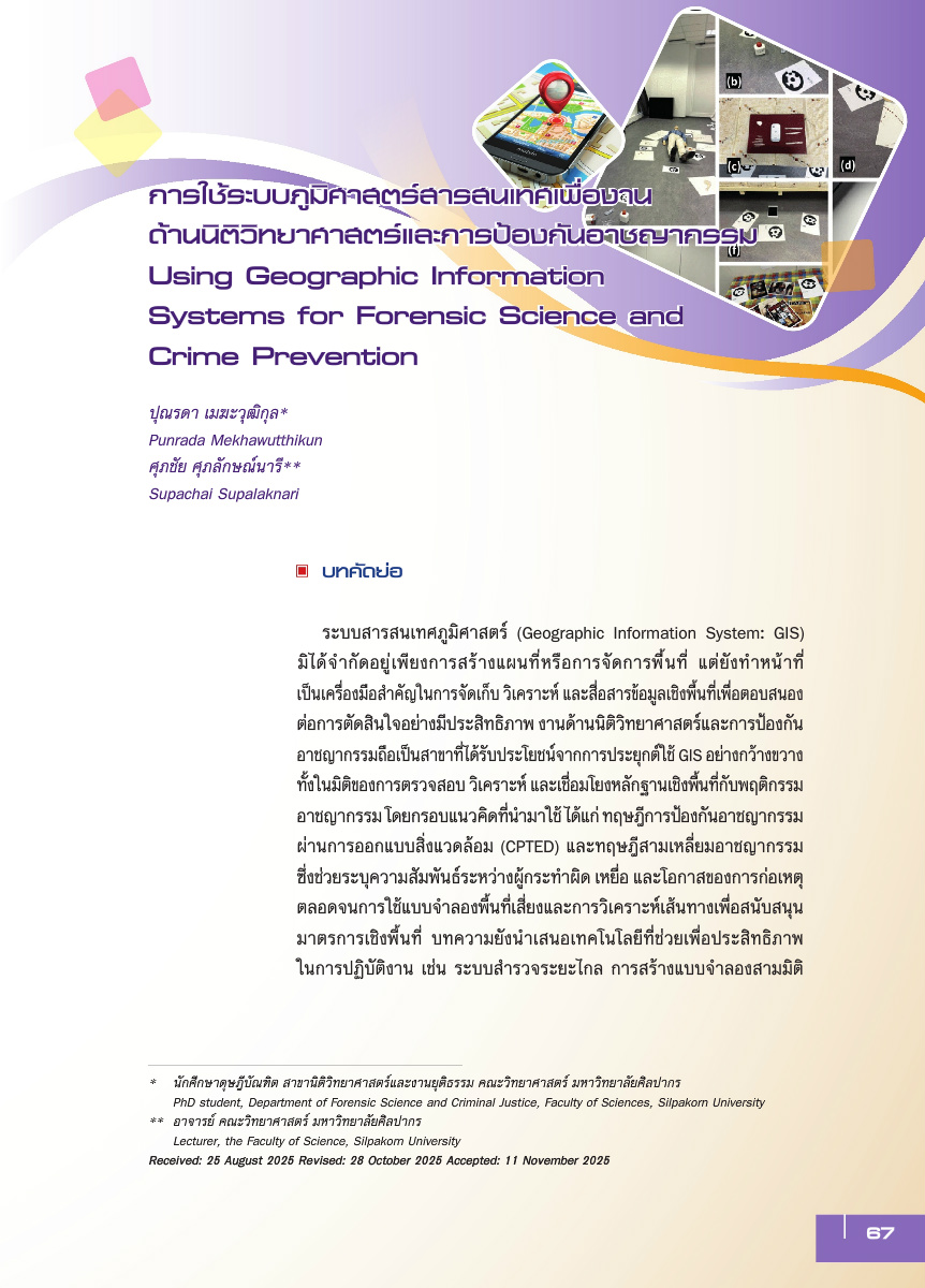
Geographic Information System (GIS) is not limited to cartography, but functions as a core tool for storing, analyzing, and integrating spatial data to support effective decision-making. Forensic science and crime prevention are among the fields that have benefited extensively from the widespread application of GIS, particularly in verifying, analyzing, and linking spatial evidence with patterns of criminal behavior. Drawing on criminological perspectives such as Crime Prevention Through Environmental Design (CPTED) and the Crime Triangle, the article highlights how spatial analysis can clarify relationships among offenders, victims, and opportunities. The article further highlights remote sensing, 3D modelling, and photogrammetry as tools that enhance spatial-data accuracy and strengthen evidence documentation in complex scenarios, including international war crimes. The policy implications conclude that integrating GIS with advanced technologies not only strengthens criminal investigations, but also supports the design of proactive prevention measures, enhances transparency in the justice process, and fosters safer and more sustainable communities.
Article Details

This work is licensed under a Creative Commons Attribution-NonCommercial-NoDerivatives 4.0 International License.
Published Manuscripts are the copyright of the Journal of the Justice System. However; the opinions that appeared in the content are the sole responsibility of the author.
References
Artec 3D. (2023). 3D scanning for documenting war crimes in Ukraine. https://www.artec3d.com
Barone, P. M., Di Maggio, R. M., & Mesturini, S. (2021). Forensic geoarchaeology in the search for missing persons. Forensic Sciences, 1(1), 8-15. https://doi.org/10.3390/forensicsci1010003
Brantingham, P. J. & Brantingham, P. L. (1993). Nodes, paths and edges: Considerations on the complexity of crime and the physical environment. Journal of Environmental Psychology, 13(1), 3-28. https://doi.org/10.1016/S0272-4944(05)80212-9
Brantingham, P. L. & Brantingham, P. J. (1995). Criminality of place. European Journal on Criminal Policy and Research, 3(3), 5-26. https://doi.org/10.1007/BF02242925
Caplan, J. M. & Kennedy, L. W. (2016). Risk terrain modeling compendium. Rutgers Center on Public Security.
Cohen, L. E. & Felson, M. (1979). Social change and crime rate trends: A routine activity approach. American Sociological Review, 44(4), 588-608. https://doi.org/10.2307/2094589
Court, T. (2022). Documenting war crimes in Ukraine: Challenges and digital evidence preservation. Journal of International Criminal Justice, 20(4), 845-860. https://doi.org/10.1093/jicj/mqac045
Cozens, P. M., Saville, G., & Hillier, D. (2005). Crime prevention through environmental design (CPTED): A review and modern bibliography. Property Management, 23(5), 328-356. https://doi.org/10.1108/02637470510631483
Crowe, T. D. (2013). Crime prevention through environmental design (3rd ed.). Butterworth-Heinemann.
Eck, J. E., Chainey, S., Cameron, J. G., Leitner, M., & Wilson, R. E. (2005). Mapping crime: Understanding hotspots. National Institute of Justice.
Edelman, G. J., Gaston, E., van Leeuwen, T. G., Cullen, P. J., & Aalders, M. C. G. (2012).Hyperspectral imaging for non-contact analysis of forensic traces. Forensic Science International, 223(1–3), 28–39. https://doi.org/10.1016/j.forsciint.2012.09.012
Esri. (2023). What is GIS?. https://www.esri.com
Goodchild, M. F. (2007). Citizens as sensors: The world of volunteered geography. GeoJournal, 69(4), 211-221. https://doi.org/10.1007/s10708-007-9111-y
Jacobs, J. (1961). The death and life of great American cities. Random House.
James, M. R. & Robson, S. (2012). Straightforward reconstruction of 3D surfaces and topography with a camera: Accuracy and geoscience application. Journal of Geophysical Research: Earth Surface,117(F3), 1-17. https://doi.org/10.1029/2011JF002289
Jeffery, C. R. (1971). Crime prevention through environmental design. Sage.
Kulldorff, M. (1997). A spatial scan statistic. Communications in Statistics: Theory and Methods, 26(6), 1481-1496. https://doi.org/10.1080/03610929708831995
Leitner, M. (2013). Crime modeling and mapping using geospatial technologies. Springer. https://doi.org/10.1007/978-94-007-4993-4
Longley, P. A., Goodchild, M. F., Maguire, D. J., & Rhind, D. W. (2015). Geographic information systems and science (4th ed.). Wiley.
Marshall, S. (2012). Cities, design and evolution. Routledge.
Newman, O. (1972). Defensible space: Crime prevention through urban design. Macmillan.
O’Donnell., D. E. (2013). Compstat: Its Origins, Evolution, and Future in Law Enforcement Agencies. Bureau of Justice Assistance Police Executive Research Forum.
Ospina-Bohórquez, A., Del Pozo, S., Courtenay, L. A., & González-Aguilera, D. (2023).Handheld stereo photogrammetry applied to crime scene analysis. Measurement, 216,112861. https://doi.org/10.1016/j.measurement.2023.112861
Ratcliffe, J. H. (2010). Crime mapping: Spatial and temporal challenges. In A. R. Piquero & D. Weisburd (Eds.), Handbook of quantitative criminology (pp. 5-24). Springer. https://doi.org/10.1007/978-0-387-77650-7_2
Saferstein, R. (2018). Criminalistics: An introduction to forensic science (12th ed.). Pearson.
Sieberth, T., Wackrow, R., & Chandler, J. H. (2014). Automatic detection of blurred images in UAV image sets. ISPRS Journal of Photogrammetry and Remote Sensing, 95, 158-167. https://doi.org/10.1016/j.isprsjprs.2014.06.006
United Nations Office on Drugs and Crime. [UNODC], (2010). Handbook on the crime prevention guidelines: Making them work. United Nations.
UN-Habitat. (2007). Enhancing urban safety and security: Global report on human settlements 2007. United Nations.
Weisburd, D., Mastrofski, S., McNally, A., Greenspan, R., & Willis, J. (2003). Reforming to preserve: CompStat and strategic problem solving in American policing. Criminology & Public Policy, 2(3),421-456. https://doi.org/10.1111/j.1745-9133.2003.tb00013.x
Westoby, M. J., Brasington, J., Glasser, N. F., Hambrey, M. J., & Reynolds, J. M. (2012).Structure-from-motion photogrammetry: A low-cost, effective tool for geoscience applications.Geomorphology, 179, 300-314. https://doi.org/10.1016/j.geomorph.2012.08.021
Yuen, B. (2011). Singapore’s urban planning and development experience. Urban Studies,48(5), 1001-1017. https://doi.org/10.1177/0042098010377475
