
The admissibility of evidence gathered from Unmanned Aerial Vehicles in police interrogation
Article Sidebar
Main Article Content
Abstract
The investigating officers have the authority to inspect locations that may serve as evidence, take photographs, and create crime scene maps, which could help clarify the case. However, photographs alone may not provide the court with a clear understanding of the distance or direction in which they were taken, nor the relationship between different pieces of physical evidence at the scene.
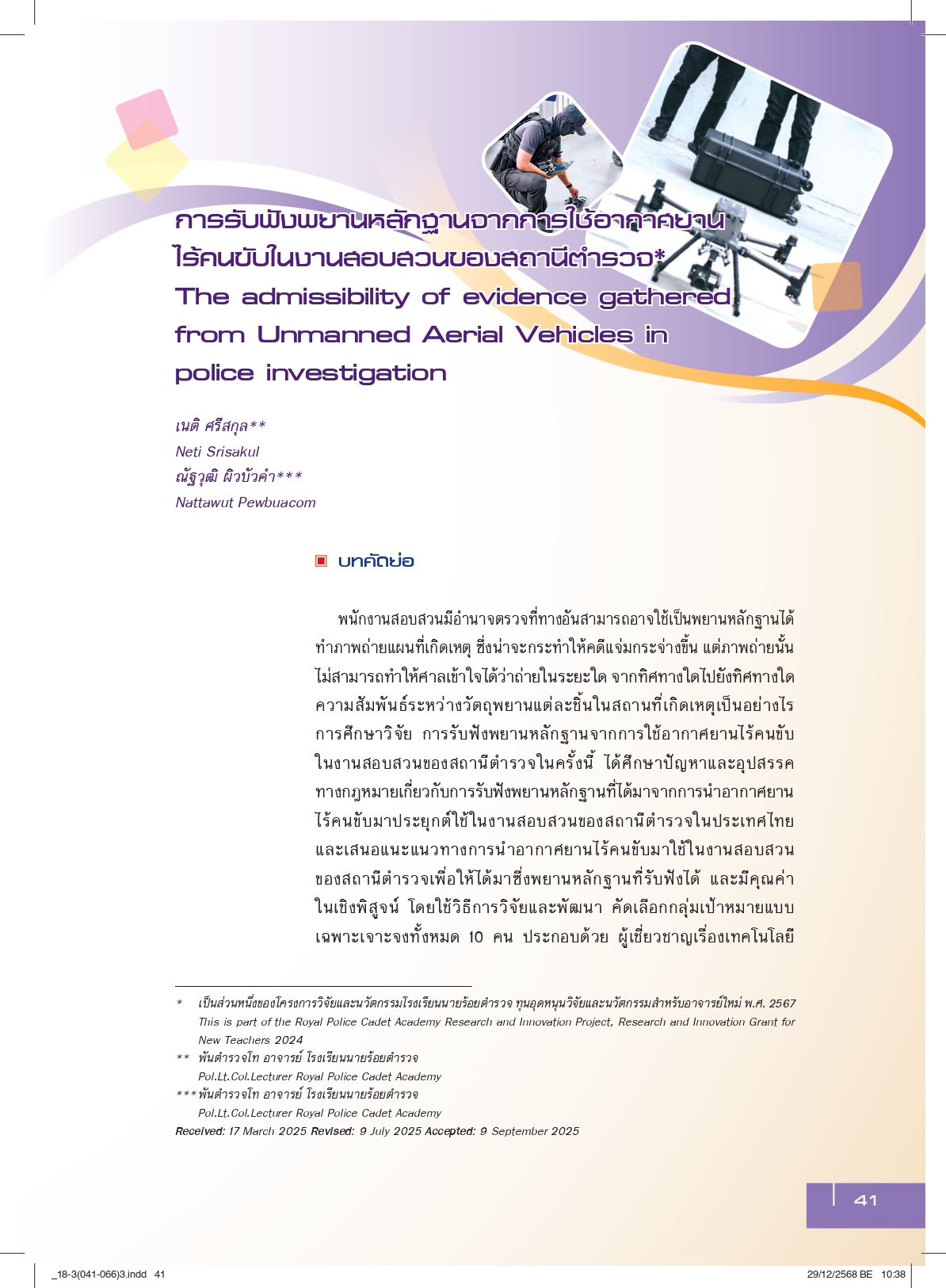
This study on the use of drones in police investigations examines the legal challenges surrounding the admissibility of evidence obtained through drone technology in police investigations in Thailand. It also proposes guidelines for the use of drones to gather admissible and valuable evidence. The research was conducted through a developmental approach, with a targeted group of ten participants, including experts in drone technology, legal professionals such as judges, prosecutors, and law professors, as well as investigators and evidence collectors from the Royal Thai Police, the Department of Special Investigation, and forensic officers.
The study found that police investigators should utilize drones to capture aerial images of crime scenes, providing an overall view and illustrating the relationship between different pieces of evidence. This should be done alongside ground-level photography of the evidence to be included in the investigation report. Drones can help simplify and ensure accuracy in creating crime scene maps. When taken in accordance with relevant legal procedures, drone images of crime scenes can be considered as admissible physical evidence. If the images are clear and can demonstrate facts relevant to the case, they would hold significant probative value.
The recommendation is that the Royal Thai Police should issue regulations governing the use of drone technology, ensuring that all investigators follow a standardized procedure. This would enhance professionalism, protect the integrity of officers performing their duties, and build public trust and confidence.
Article Details

This work is licensed under a Creative Commons Attribution-NonCommercial-NoDerivatives 4.0 International License.
Published Manuscripts are the copyright of the Journal of the Justice System. However; the opinions that appeared in the content are the sole responsibility of the author.
References
Al-Turjman, F. (2022). A novel approach for drones positioning in mission-critical applications. Transactions on Emerging Telecommunications Technologies, 33(3), e3603. https://doi.org/10.1002/ett.3603
Andriolo, U., Gonçalves, G., Sobral, P., & Bessa, F. (2021). Spatial and size distribution of macro-litter on coastal dunes from drone images: A case study on the Atlantic coast. Marine Pollution Bulletin, 169, 112490.
Bahabry, A., Wan, X., Ghazzai, H., Menouar, H., Vesonder, G., & Massoud, Y. (2019). Low-altitude navigation for multi-rotor drones in urban areas. IEEE Access, 7, 87716-87731. https://ieeexplore.ieee.org/document/8747351
Burgett, J. M. (2023). UAS law enforcement technicians in South Carolina: An exploration of supply and demand. Journal of Advanced Technological Education, 2(1), 49–60.
Intanon, I., & Chinpath, B. (2021, June). Application of unmanned aerial vehicles for construction site inspection [Pape presentation]. National Civil Engineering Conference.
Isarapand, B. (2019). The use of drones in police station investigations. Crime and Safety, 2(1), 77-96.
Kamolchad, S., & Phimpkha, A. (2017). Investigation of special cases using unmanned aerial vehicles (DRONE): A case study of public area encroachment in Khlong Dan, Bang Bua District, Samut Prakan Province (Cooperative education project report at the Department of Special Investigation). Naresuan University, Phitsanulok.
Lay, M. G. (1999). Ways of the World: A History of the World's Roads and of the Vehicles that Used Them. Rutgers university press.
Mills, S. (2019). The dawn of the drone: From the back-room boys of World War One. Casemate.
Natthaphon, D. (2019). Final research report on the development of remote sensing techniques using thermal imaging and multi-spectral cameras on small unmanned aerial vehicles (UAVs) to support investigations in special cases related to forest, land, andwildlife crimes. Department of Special Investigation. https://www.dsi.go.th/en/Detail
Rattaphon, P., & Chakraphong, C. (2021). Application of small unmanned aerial vehicles (UAVs) in land use survey and mapping in Mae Chaem District through community participation. Communication Review, 25(2), 110-125.
Sophon, R. (2006). Witness (8th ed.). Nitibutakan Publishing.
Supitchan, T. (2020). Guidelines for using unmanned aerial vehicles to assist disaster victims. Rathapirak, 62(3), 9-18.
Valavanis, K. P., & Vachtsevanos, G. J. (Eds.). (2015). Handbook of unmanned aerial. Springer Netherlands.
Wirul, Y., Phanakrit, K., Waranyu, U., Peerawut, T., Surath, P., & Chatchai, W. (2020). Development of an intelligent deep investigation system for accident investigation: Integration of drone technology. Khon Kaen University Research Journal (Graduate Studies), 20(2), 147-160.
